

Beer Baron
Scooter
I haven't participated on this forum in a few years, mostly just come by as a lurker. I signed up when I was looking for info on Bonnevilles and Thruxtons. I never did buy the Bonnie I had my eye but I did rent one recently during a trip to San Diego. What a great ride, loved it. Hope you enjoy the ride report.
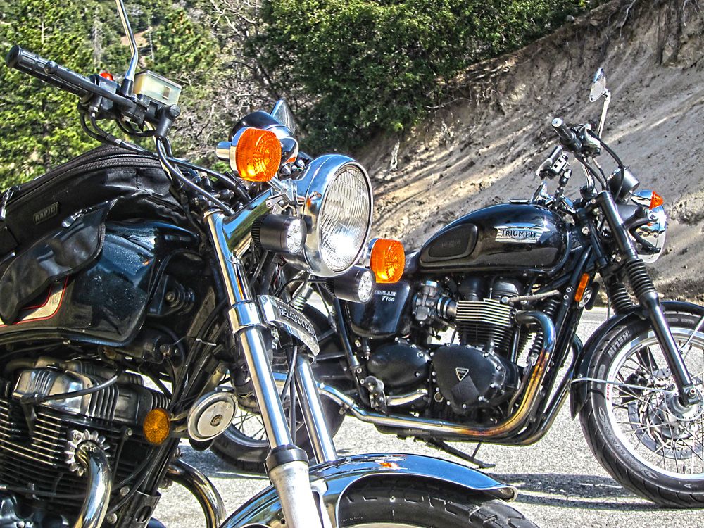
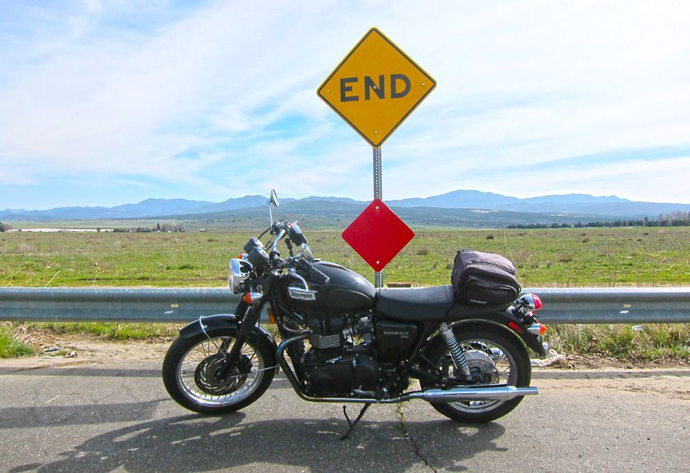
Here is some info about EagleRider San Diego. *It's a good shop, the folks there are very straightforward and quite friendly, even helpful. *Their choice of bikes is limited to mostly Harleys and they seem to focus on Harleys, fortunately for me they added two Triumphs to their stable recently, a Thruxton and Bonneville T100. *I chose the Bonnie. *It had 18k miles on it and was just a little beat up, scuffs and such but the motor was strong. *It did have a mild backfiring issue, I joked to myself they did it so if fit in more with the Harleys in the fleet. *Also was ornery when trying to start it a few times, luck was on my side though as she never let me down.
Day 1, 172 miles: EagleRider San Diego to Banning, CA *- highlights, Palomar Mountain, Lake Henshaw and the mountains of HWY 74 -
Map - http://goo.gl/maps/xQLRo
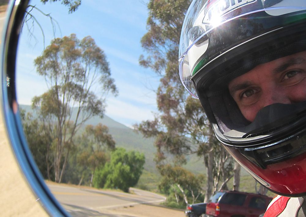
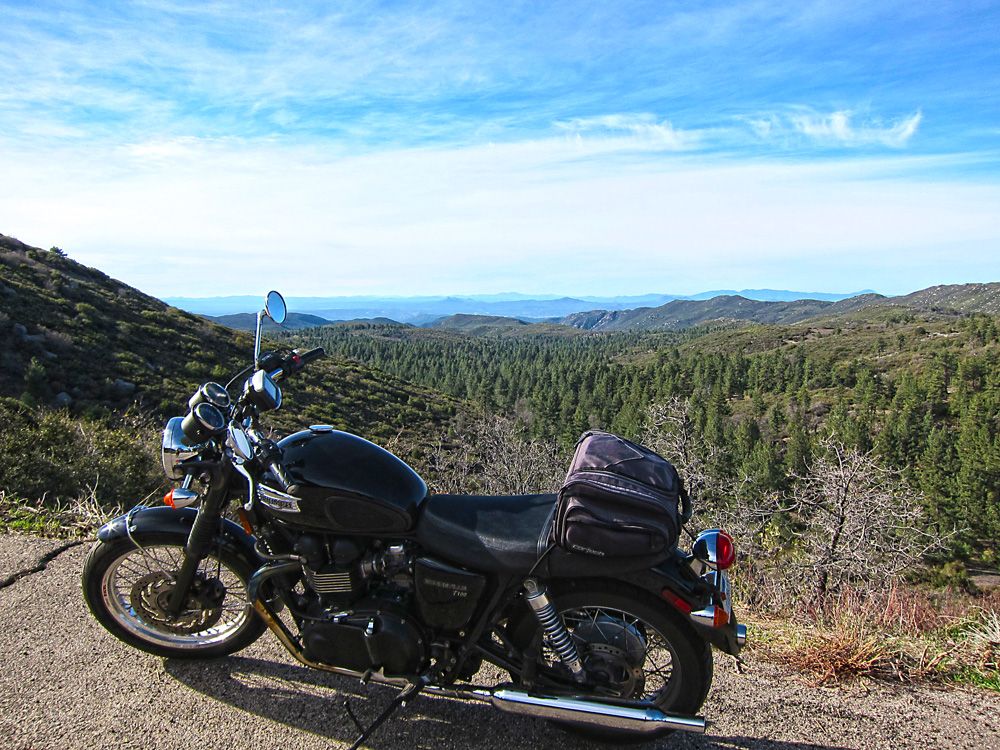
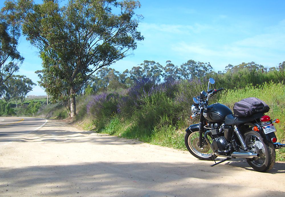
What are you looking at? *Let's get this party started!
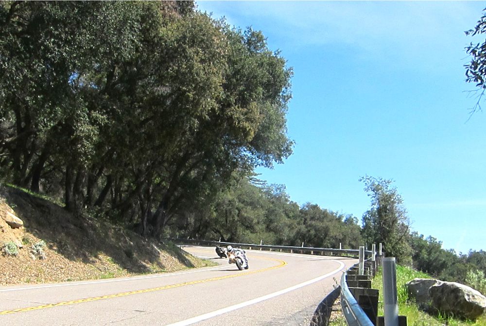
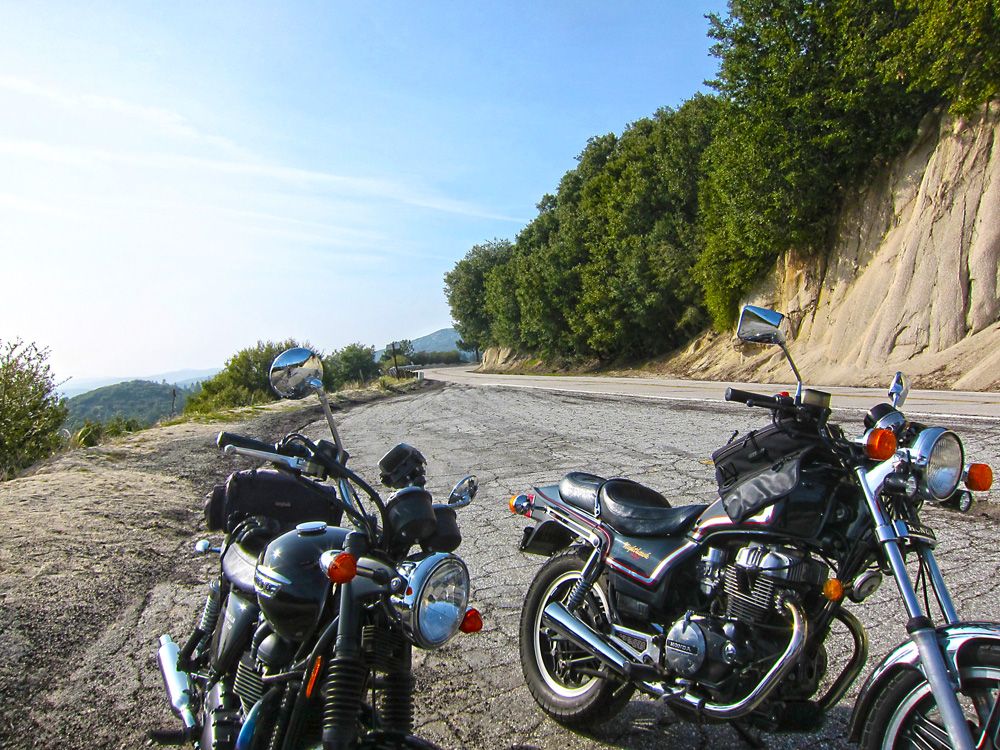
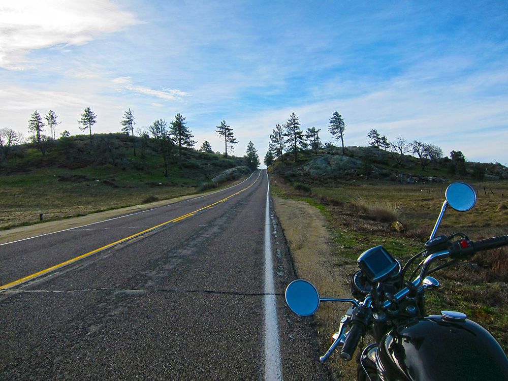
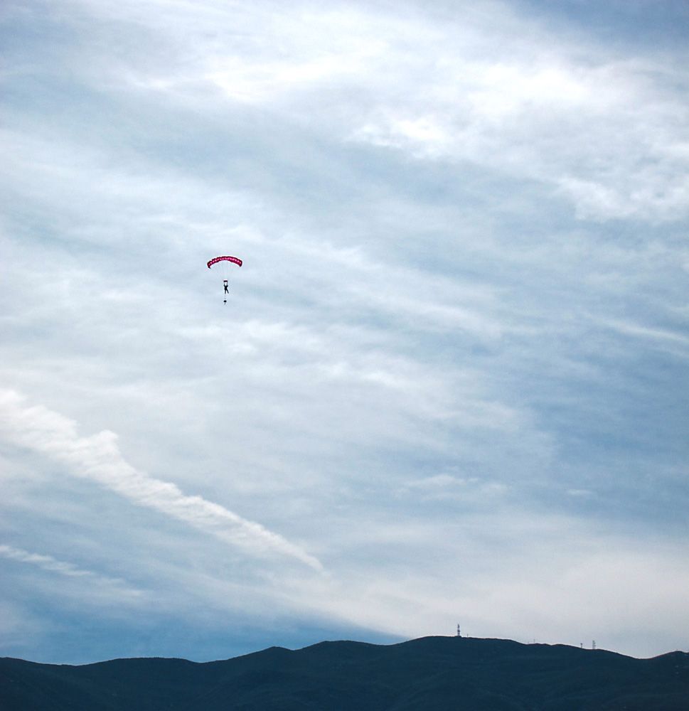
First stop on Palomar Mountain. *I heard the whine of four cylinder sport bikes in the distance and the sound was getting closer. *I hopped off my bike and scrambled to get my camera, didn't have time for the zoom but was able to get this shot. *These guys were good, effortlessly guiding their bikes around the corners. *Looked cool too, one all in black the other in white both bikes and gear. *They lapped me three times as I rode to the top.
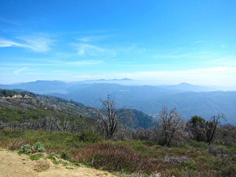
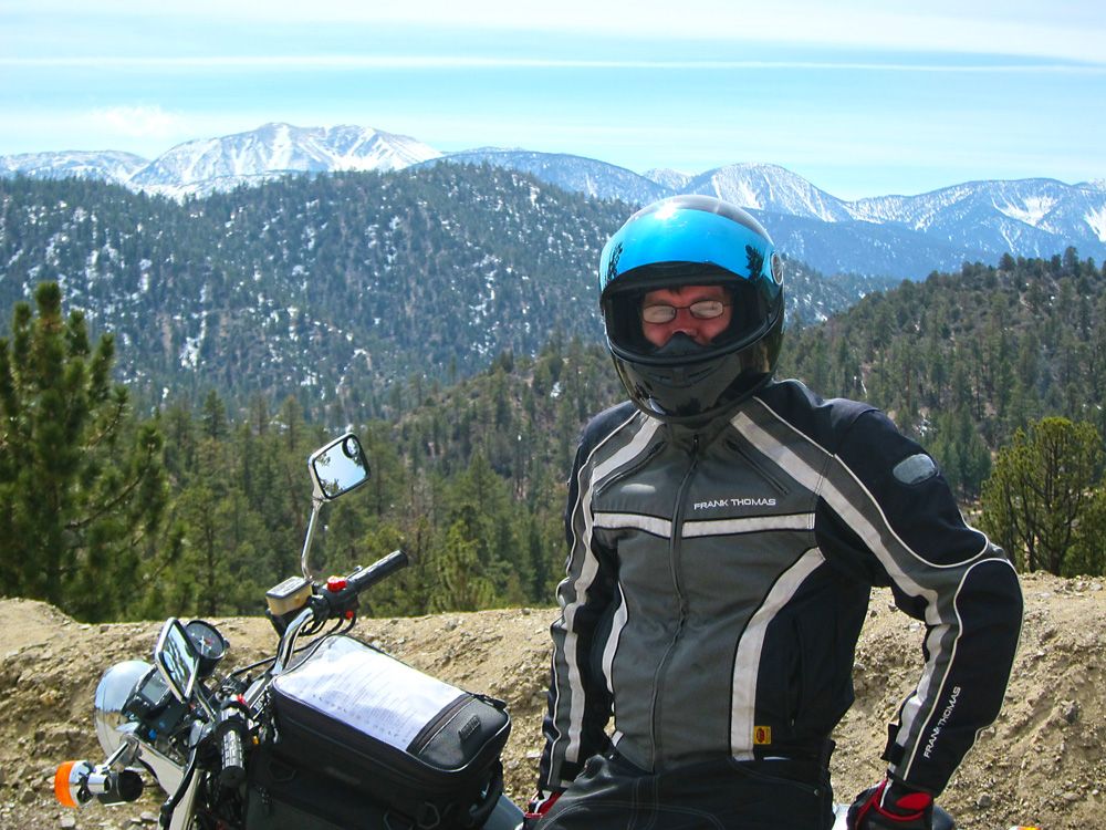
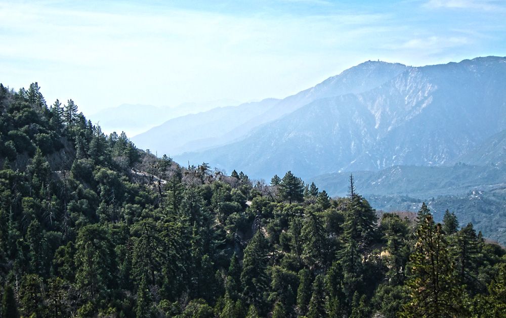
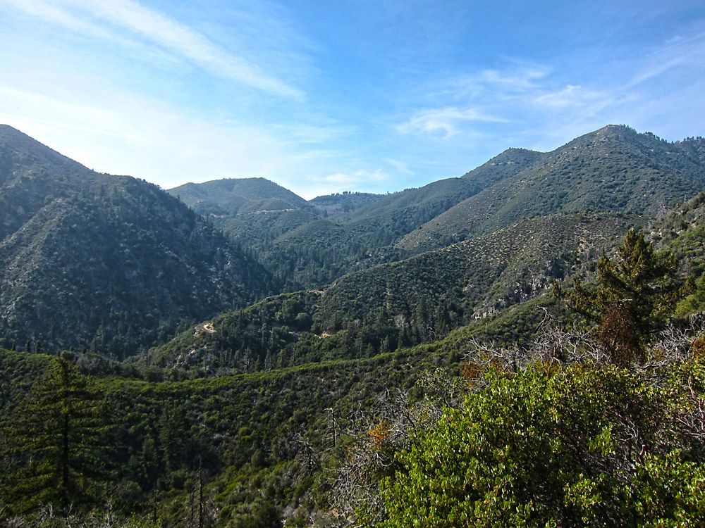
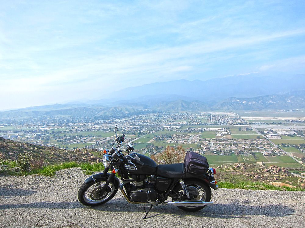
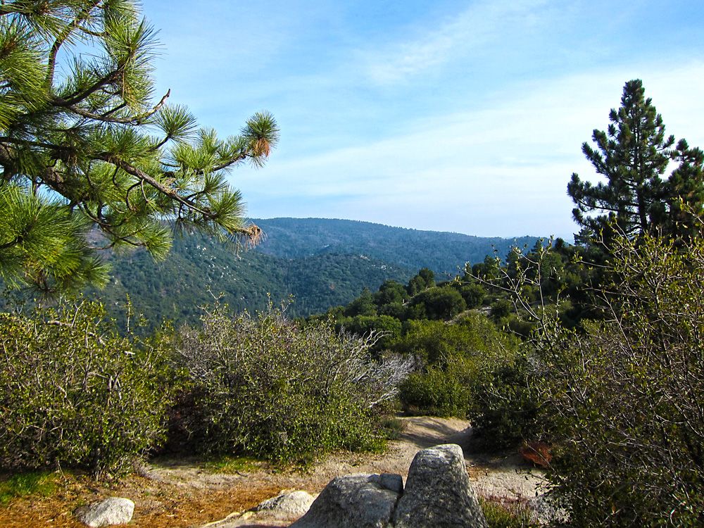
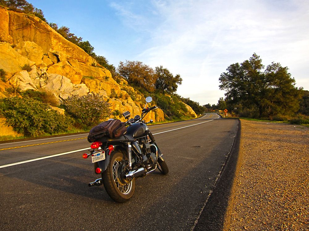
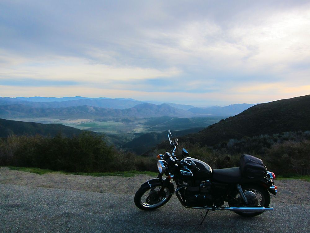
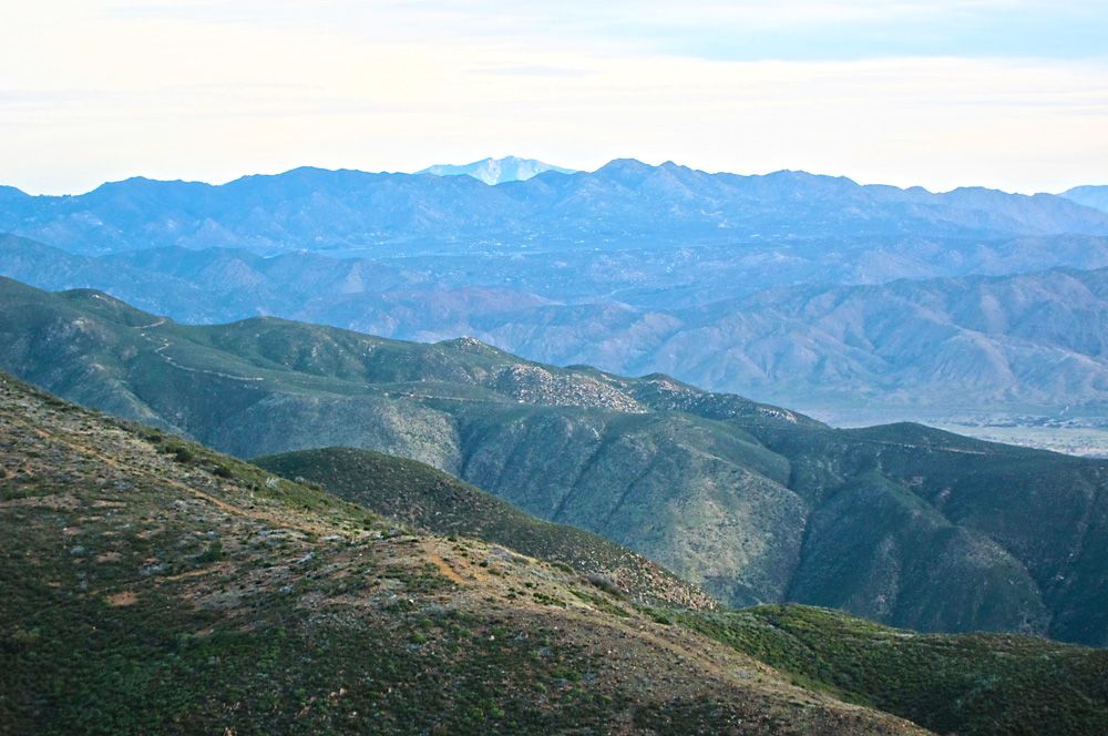
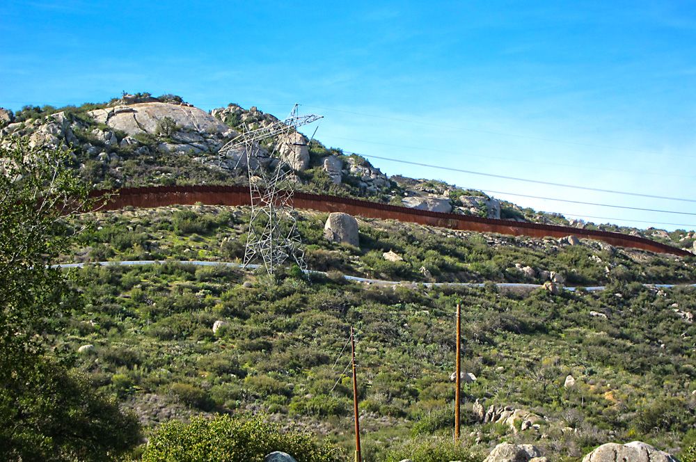
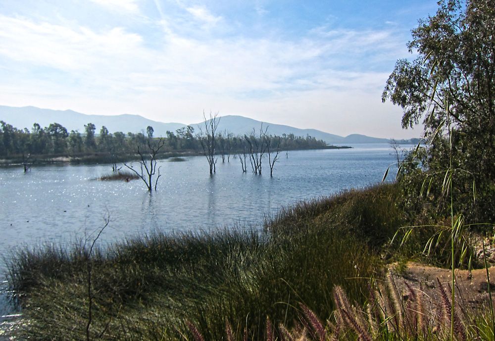
A view from one of the many turnouts on Palomar Mountain. *I saw two large Harley baggers winding their way up and thought to myself, God bless em', if they can make it up those roads they will have some spectacular views.
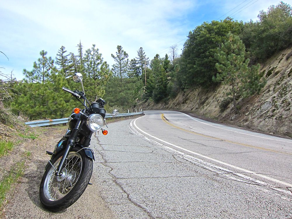
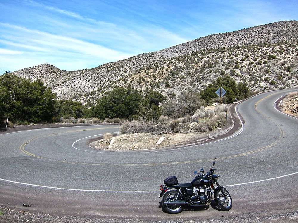
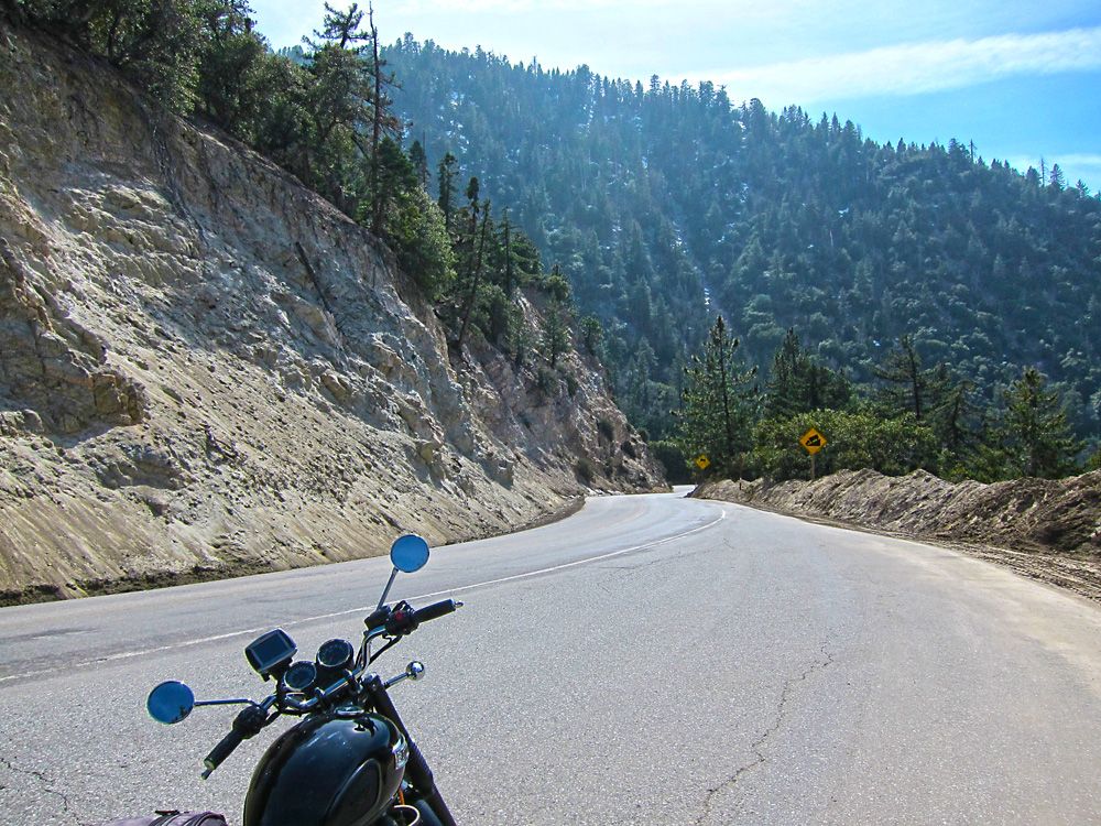
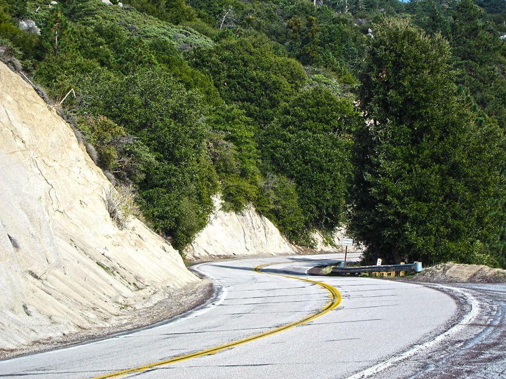
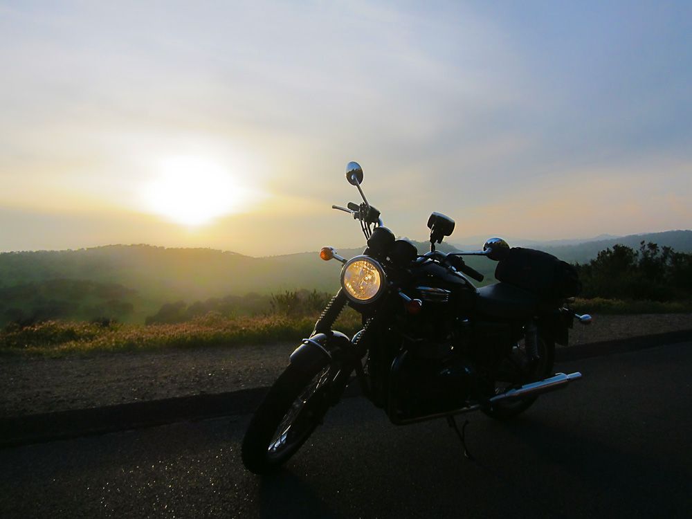
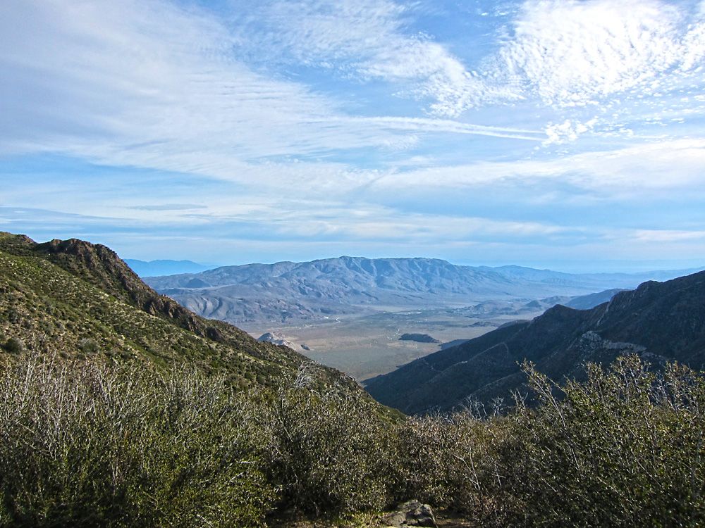
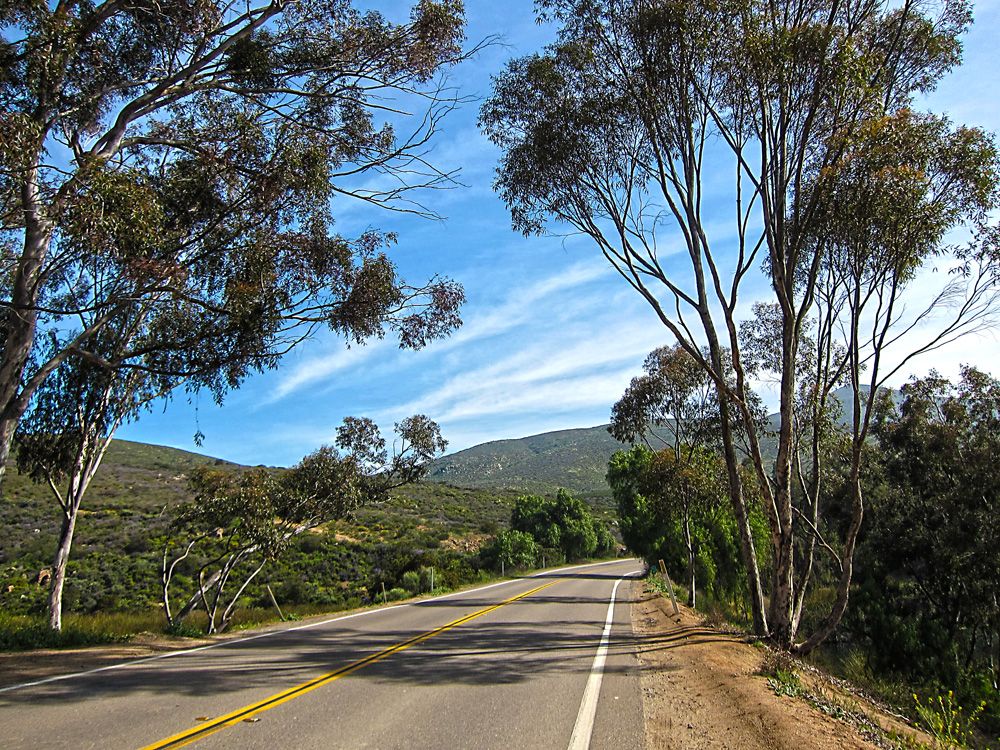
Hwy 74 near Idyllwild. *I say near Idyllwild because there isn't much else up on the mountain but truthfully it's not that close. *This road is scary fun with it's twists and turns along the mountain.
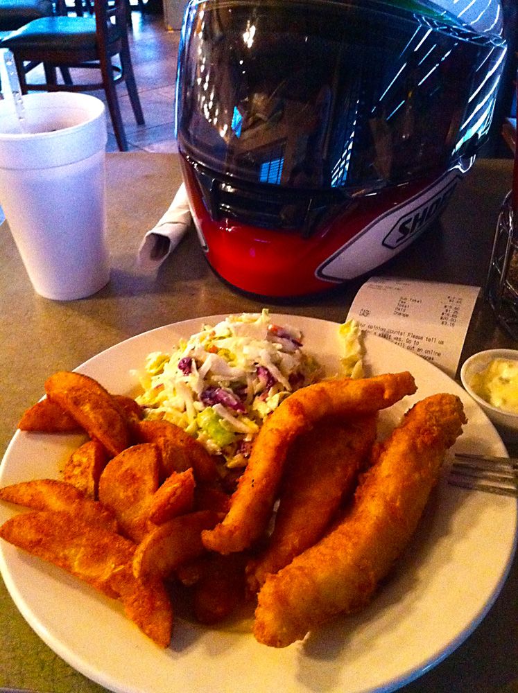
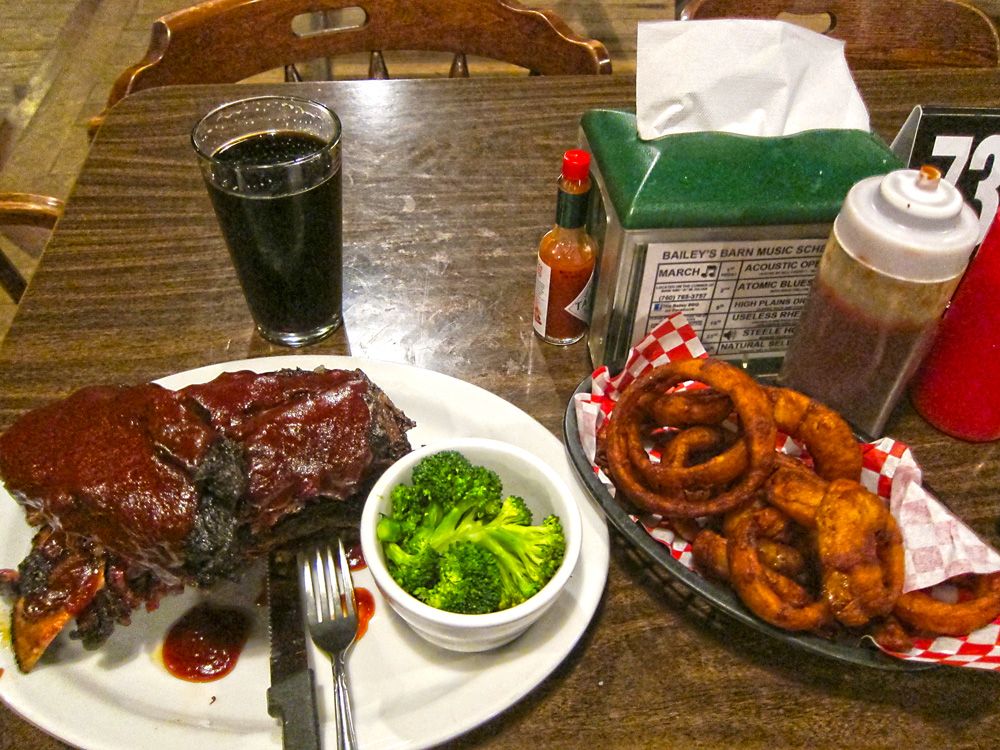
Got to Banning where I was staying that evening earlier than I expected. *I had forgot to change the time zone on my gps and was concerned I was running out of daylight. *I still had close to three hours to burn. *Anyway, with the help of the hotel front desk I picked this cool little seafood restaurant, Fisherman's Express.
Day 2, 322 miles: Banning, CA to Julian CA *- highlights, Morongo Valley, Joshua Tree National Park, Big Bear, Idyllwild, Julian -
Map - http://goo.gl/maps/5R5q6
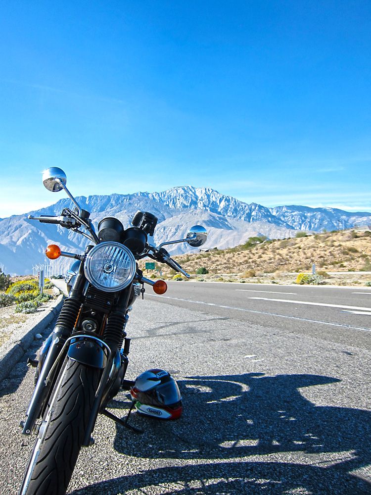
First stop on day 2 was in the Morongo Valley. *It's a mundane area that is punctuated with beautiful mountains in the distance and a huge wind farm.
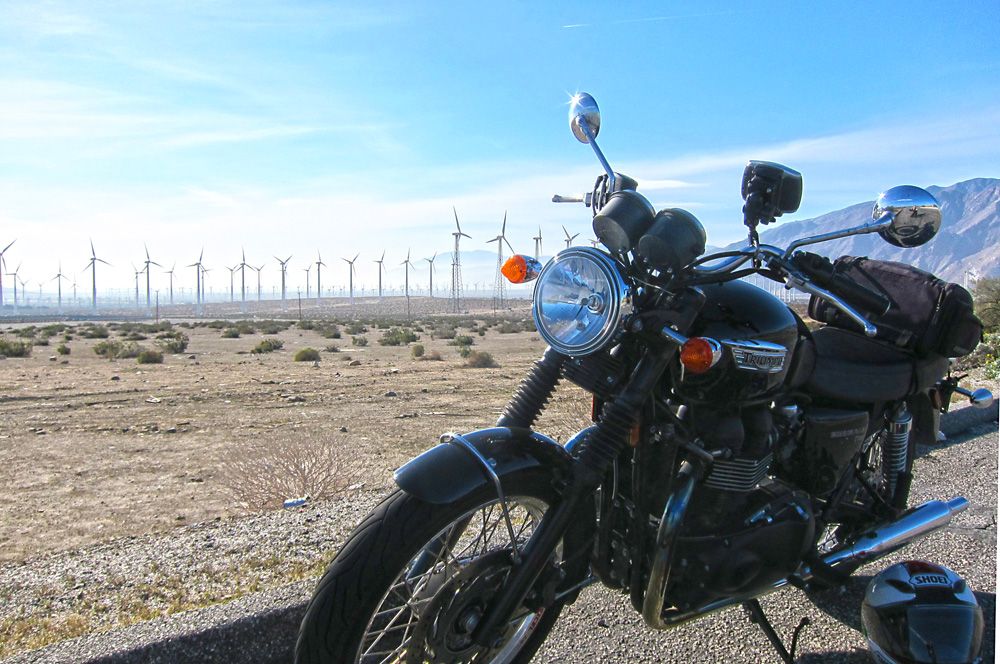
The wind farm must have been generating a lot of power that day, I experienced strong gusts that blew me across the open highway.
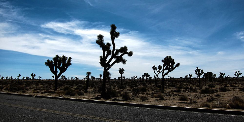
I had it in my head that I was going to visit Joshua Tree National Park on this trip. *I don't know why, maybe I just liked the sound of the park's name. *So glad I did, it's beautiful, serene and even a bit spiritual feeling at times. *It does cost money to enter the park but a mere $5 is completely worth it. *I've squandered more money for much less.
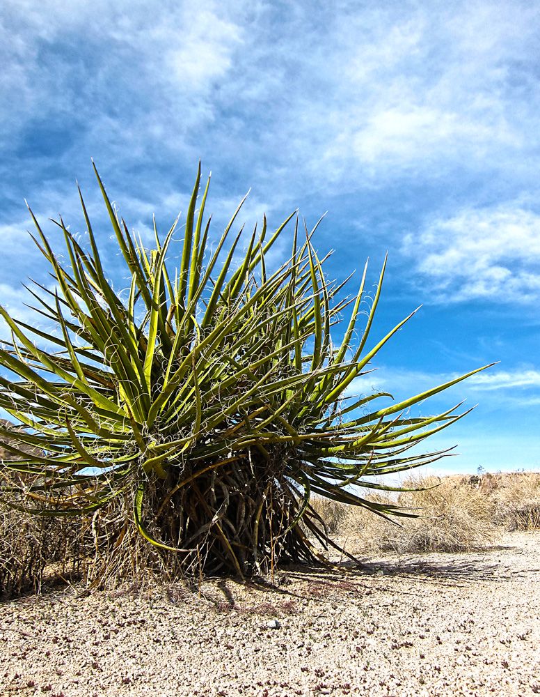
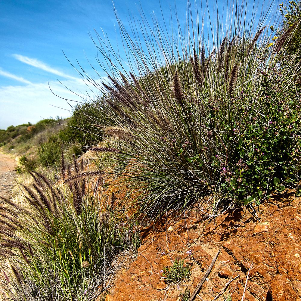
I found a lot of the plants very interesting.
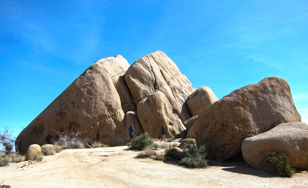
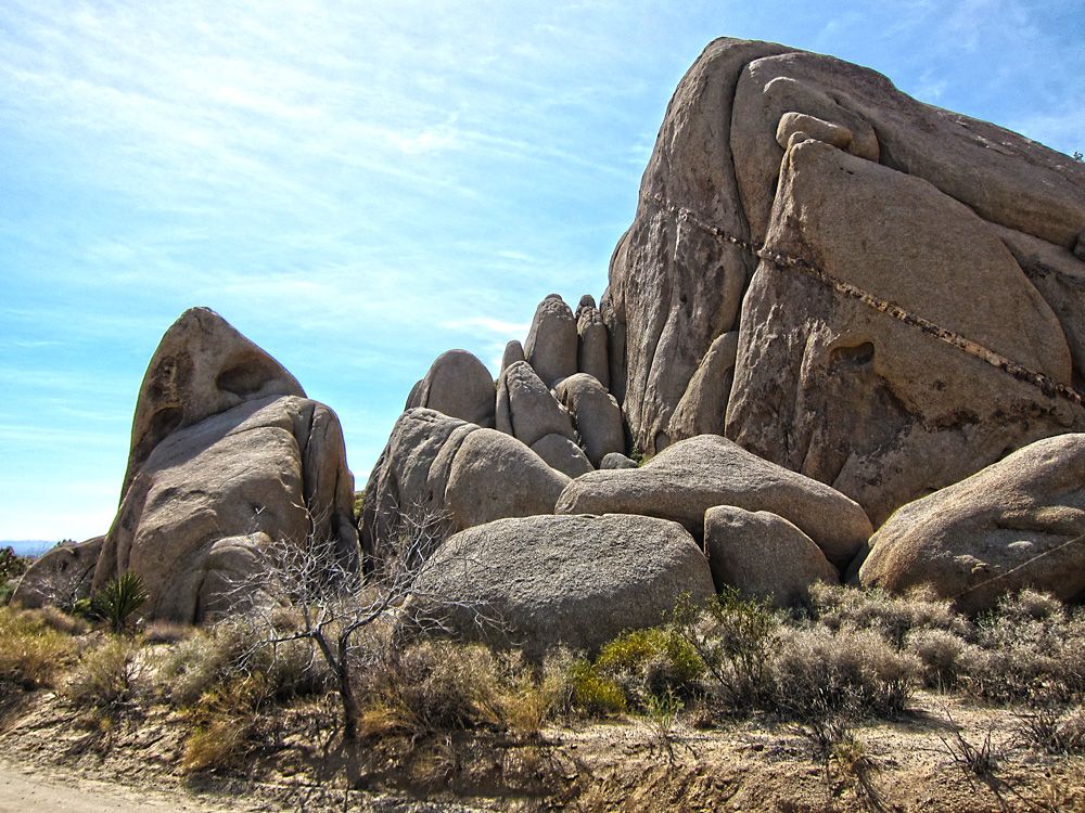
The Joshua trees are cool but the rock formations were really the star of the show for me. *Look closely and you can see two people walking along the boulders, it will give you an idea of the scale.
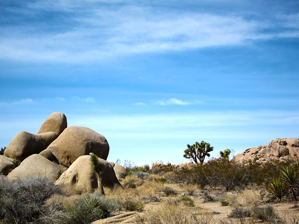
Some more desert plants... or is it a tree?
There are many pull-offs in the park allowing visitors to hike and explore.
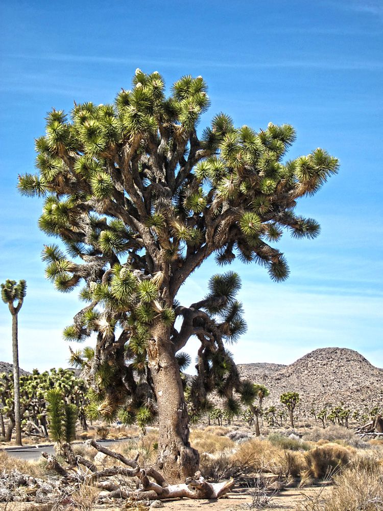
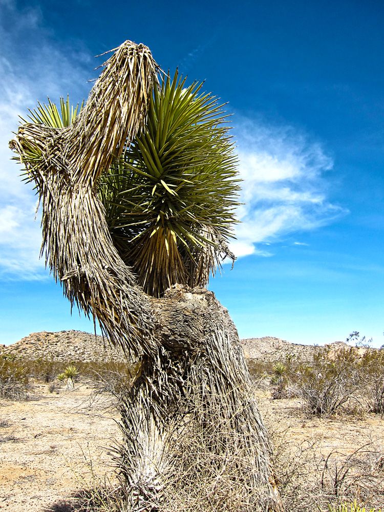
The one plant that I know the name of, the Joshua tree.
I've read and listened to people who say there is something very clean about being in the desert. *Not quite sure I get that but it sure is peaceful, the mind relaxes.
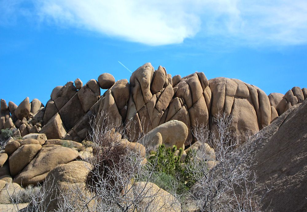
Just loved this formation of rocks. *Look along the top at the round boulders that are balanced between the point tips.
Here is some info about EagleRider San Diego. *It's a good shop, the folks there are very straightforward and quite friendly, even helpful. *Their choice of bikes is limited to mostly Harleys and they seem to focus on Harleys, fortunately for me they added two Triumphs to their stable recently, a Thruxton and Bonneville T100. *I chose the Bonnie. *It had 18k miles on it and was just a little beat up, scuffs and such but the motor was strong. *It did have a mild backfiring issue, I joked to myself they did it so if fit in more with the Harleys in the fleet. *Also was ornery when trying to start it a few times, luck was on my side though as she never let me down.
Day 1, 172 miles: EagleRider San Diego to Banning, CA *- highlights, Palomar Mountain, Lake Henshaw and the mountains of HWY 74 -
Map - http://goo.gl/maps/xQLRo
What are you looking at? *Let's get this party started!
First stop on Palomar Mountain. *I heard the whine of four cylinder sport bikes in the distance and the sound was getting closer. *I hopped off my bike and scrambled to get my camera, didn't have time for the zoom but was able to get this shot. *These guys were good, effortlessly guiding their bikes around the corners. *Looked cool too, one all in black the other in white both bikes and gear. *They lapped me three times as I rode to the top.
A view from one of the many turnouts on Palomar Mountain. *I saw two large Harley baggers winding their way up and thought to myself, God bless em', if they can make it up those roads they will have some spectacular views.
Hwy 74 near Idyllwild. *I say near Idyllwild because there isn't much else up on the mountain but truthfully it's not that close. *This road is scary fun with it's twists and turns along the mountain.
Got to Banning where I was staying that evening earlier than I expected. *I had forgot to change the time zone on my gps and was concerned I was running out of daylight. *I still had close to three hours to burn. *Anyway, with the help of the hotel front desk I picked this cool little seafood restaurant, Fisherman's Express.
Day 2, 322 miles: Banning, CA to Julian CA *- highlights, Morongo Valley, Joshua Tree National Park, Big Bear, Idyllwild, Julian -
Map - http://goo.gl/maps/5R5q6
First stop on day 2 was in the Morongo Valley. *It's a mundane area that is punctuated with beautiful mountains in the distance and a huge wind farm.
The wind farm must have been generating a lot of power that day, I experienced strong gusts that blew me across the open highway.
I had it in my head that I was going to visit Joshua Tree National Park on this trip. *I don't know why, maybe I just liked the sound of the park's name. *So glad I did, it's beautiful, serene and even a bit spiritual feeling at times. *It does cost money to enter the park but a mere $5 is completely worth it. *I've squandered more money for much less.
I found a lot of the plants very interesting.
The Joshua trees are cool but the rock formations were really the star of the show for me. *Look closely and you can see two people walking along the boulders, it will give you an idea of the scale.
Some more desert plants... or is it a tree?
There are many pull-offs in the park allowing visitors to hike and explore.
The one plant that I know the name of, the Joshua tree.
I've read and listened to people who say there is something very clean about being in the desert. *Not quite sure I get that but it sure is peaceful, the mind relaxes.
Just loved this formation of rocks. *Look along the top at the round boulders that are balanced between the point tips.